
We have seen some light snowfalls across the Alps this week. But heavier, more widespread dumps are on the way this weekend!
Snow Report Europe 11/03/26
The snow clouds are moving back in across the Alps! By Sunday we can expect to see 50cm+ in France and Italy and 20cm+ in Switzerland and Austria.
France snow report
There has been some light snow across the French Alps this week. Around 5-10cm of snow has been recorded in Les 2 Alpes, Le Grand Bornand, Puy Saint Vincent and Isola 200.
Some of the best skiing conditions are currently found in: Alpe d’Huez (186-380cm), Les 2 Alpes (60330cm), Les Arcs (105-320cm), Avoriaz (165-295cm), Chamonix (280cm), Montgenevre (240-260cm) and La Rosiere 1850 (168-255cm). See our full French ski report here.
There’s plenty more snow to come! The snow clouds are moving back in across the French Alps. The biggest snow dumps to arrive on Saturday. By the end of the week, we’re expecting 50cm+ in Chamonix, Les 2 Alpes, Alpe d’Huez, Val d’Isere; 40cm in Les Menuires, Montgenevre, Val Thorens, Tignes, Avoriaz, Les Arcs, Morzine; and 20cm+ for Meribel, Courchevel and Megeve. See our full forecast here.
Austria snow report
A few light snowfalls (around 2cm) arrived this week in Lech-Zuers, Seefeld, Solden and St. Anton am Arlberg. This has freshened up the slopes nicely.
Some of the best skiing conditions can currently be found in St. Anton am Arlberg (80-240cm), Lech-Zuers (80-200cm), Lech-Zuers (80-200cm), Kuhtai (144-272cm), Galtur-Silvretta (70-160cm), Obertauern (30-150cm), St. Johann-Alpendorf (60-140cm), Flachau (60-140cm), and Wagrain (60-140cm). See our full Austrian ski report.
The snow is coming back to the Austrian Alps this weekend. The biggest snow dumps are forecast for the Tyrol. By the end of the week, we’re expecting 20cm+ in Lech-Zuers; 15cm+ in St. Anton and Axamer-Lizum; and 10cm+ in Ischgl, St. Johann in Tirol and Kuhtai. See our full forecast here.
Italy snow report
We’ve seen a few pockets of light snow in the Italian Alps this week: 10cm in Courmayeur and Limone Piemonte; 8cm in Prato Nevosa; and 5cm in Cervinia-Breuil, Sestriere and Bardonecchia. See our full Italian snow report
Some of the best skiing conditions in Italy can currently be found in Cervinia-Breuil (70-140cm), La Thuile (70-320cm), Sella Nevea (75-240cm), Courmayeur (100-180cm) and Cortina d’Ampezzo (75-125cm).
The snow clouds are moving back in across the Italian Alps. By the end of the week, we’re expecting 60cm+ in Cervinia-Breuil; 50cm+ in Sestriere and Sauze d’Oulx; 40cm+ in Courmayeur, La Thuile and Bardonecchia; and 10cm in Sella Nevea. See our full forecast here.
Switzerland snow report
We’ve seen some light snow flurries across the Swiss Alps this week, with 9cm in St. Moritz and 2cm+ in Verbier, Grindelwald, Les Diablerets and Adelboden. See our full Swiss snow report.
Some of the best skiing conditions can currently by found in Melchsee-Frutt (140-240cm), Lotschental (40-268cm), Arolla (93-187cm), Champex-Lac (80-163cm), Aletsch Arena (68-151cm), Davos-Klosters (60-151cm) and Samnaun (50-150cm).
Widespread snowfall is expected across the Swiss Alps this week: 20cm+ for Stoos, Hoch-Ybrig, Grindelwald, Flumserberg, Brienz-Axalp; and 15cm+ for Sorenberg, Champery, Engelberg, Melchsee-Frutt. See our full forecast here.
Further links:
Checkout individual resort Facebook pages for the latest snow pictures.
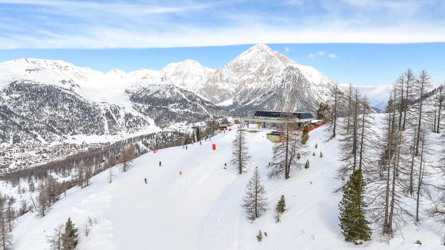
©️ cover photo : Montgenevre 3.3.26


