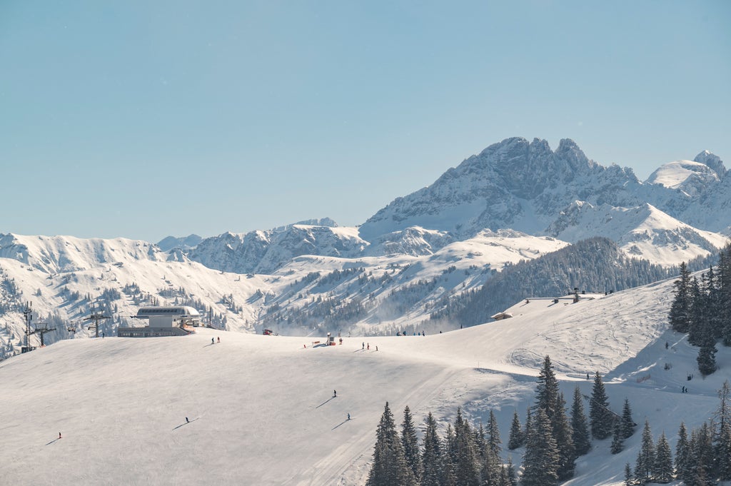
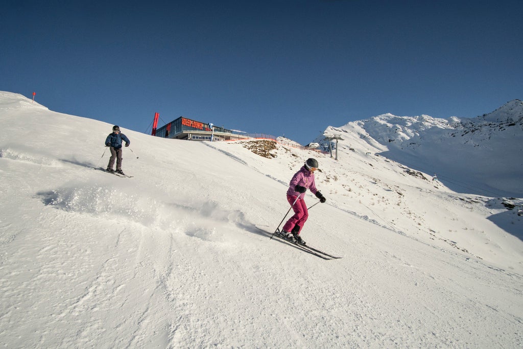
- # 1 Intermediate Terrain in Carinthia
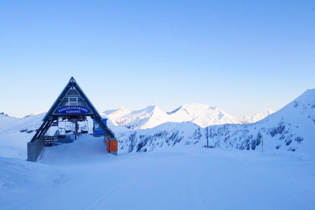
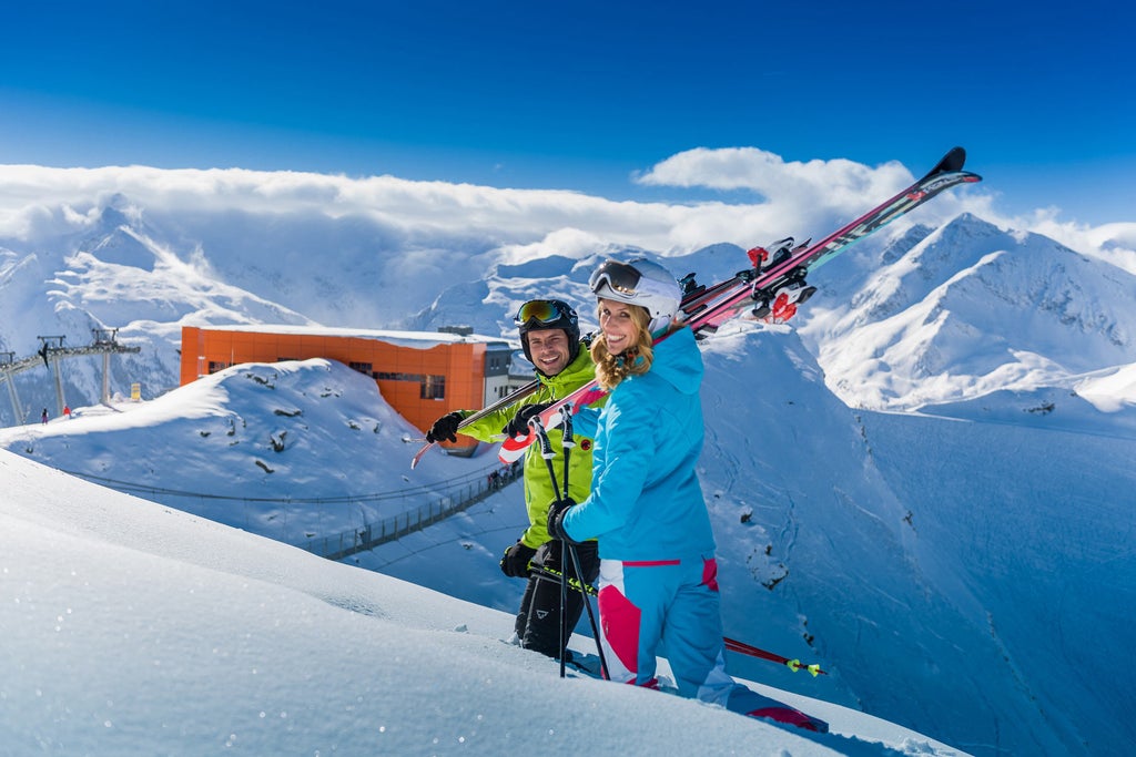
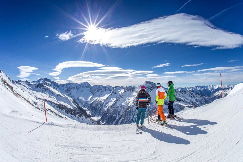
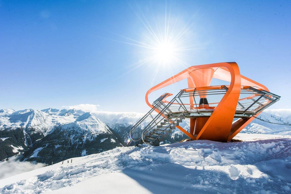
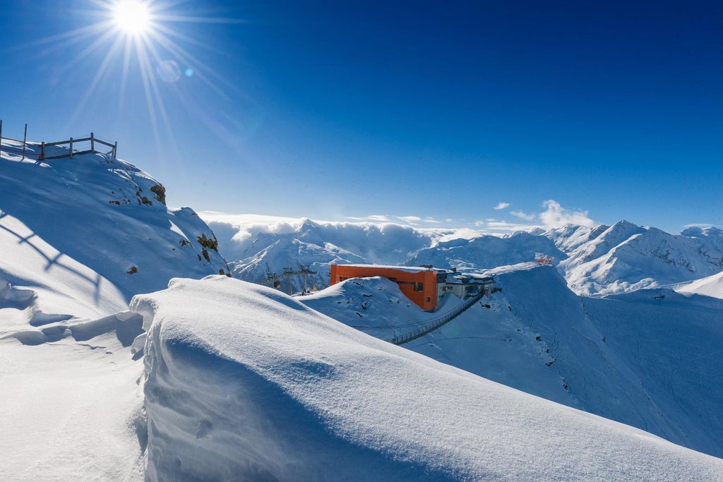
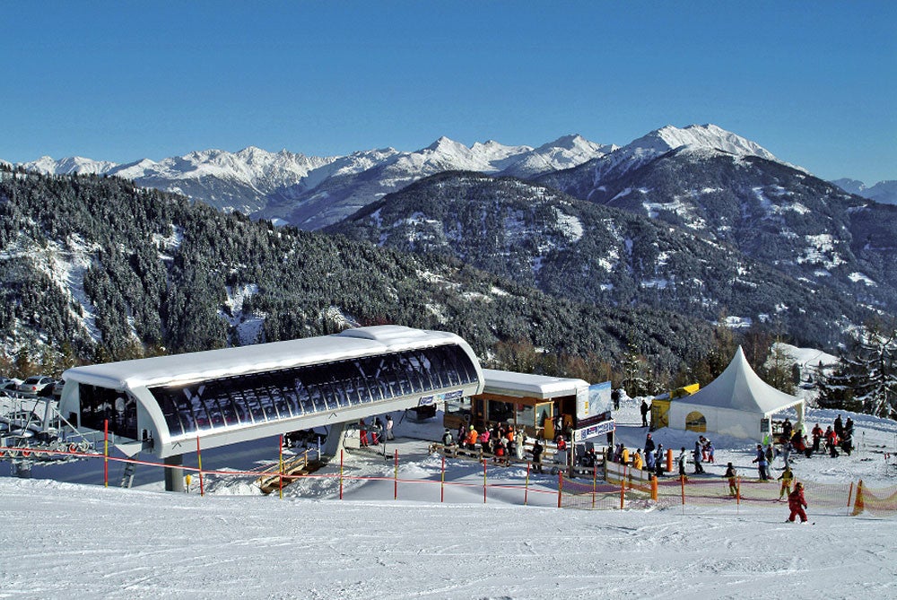
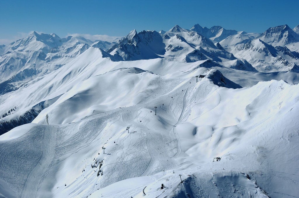
Mölltaler Glacier Overview
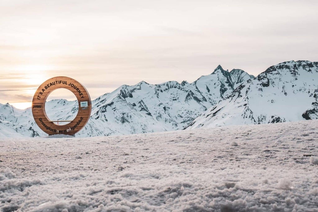
CARINTHIA / MÖLLTALER GLACIER

Try SkiGPT
A faster, friendlier way to get snow reports, live cams, and resort info.
Plan Your Trip
Transportation
Important Dates
Projected opening date
Oct 10, 2025
Projected closing date
May 31, 2026
Projected Days Open
325
Days Open Last Year
315
Average Snowfall
487cm
Terrain
Intermediate Runs
15%
Advanced Runs
58%
Expert Runs
27%
Runs in Total
16
Longest Run
7 km
Skiable Terrain
36 km
Snow Making
15 km
Lifts
8
Gondolas & Trams
2
High Speed Sixes
1
Quad Chairs
2
Double Chairs
1
Surface Lifts
2
Reviews
Pawel
Nearby:
Copyright © 1995-2026 Mountain News LLC. All rights reserved.